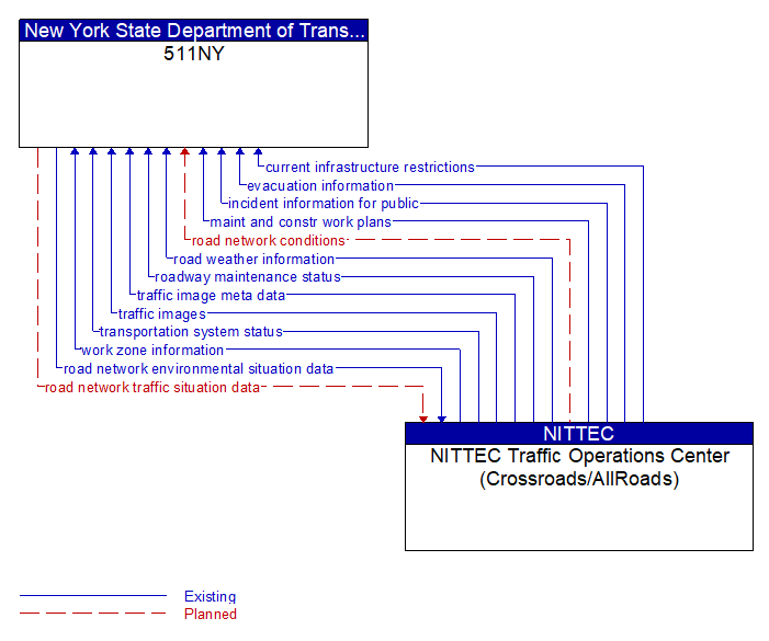
Interface: 511NY - NITTEC Traffic Operations Center (Crossroads/AllRoads)
Information Flow Definitions
current infrastructure restrictions (Existing)
Restrictions levied on transportation asset usage based on infrastructure design, surveys, tests, or analyses. This includes standard facility design height, width, and weight restrictions, special restrictions such as spring weight restrictions, and temporary facility restrictions that are imposed during maintenance and construction.
evacuation information (Existing)
Evacuation instructions and information including evacuation zones, evacuation times, and reentry times.
incident information for public (Existing)
Report of current desensitized incident information prepared for public dissemination.
maint and constr work plans (Existing)
Future construction and maintenance work schedules and activities including anticipated closures with anticipated impact to the roadway, alternate routes, anticipated delays, closure times, and durations.
road network conditions (Planned)
Current and forecasted traffic information, road and weather conditions, and other road network status. Either raw data, processed data, or some combination of both may be provided by this flow. Information on diversions and alternate routes, closures, and special traffic restrictions (lane/shoulder use, weight restrictions, width restrictions, HOV requirements) in effect is included.
road network environmental situation data (Existing)
Aggregated environmental situation data collected from vehicles and other sources for the road network. Aggregated information would include measured air temperature, exterior light status, wiper status, sun sensor status, rain sensor status, traction control status, ALB status, and other collected vehicle system status and sensor information for the region.
road network traffic situation data (Planned)
Aggregated route usage, travel times, and other aggregated data collected from probe vehicles that can be used to estimate current traffic conditions.
road weather information (Existing)
Road conditions and weather information that are made available by road maintenance operations to other transportation system operators.
roadway maintenance status (Existing)
Summary of maintenance fleet operations affecting the road network. This includes the status of winter maintenance (snow plow schedule and current status).
traffic image meta data (Existing)
Meta data that describes traffic images. Traffic images (video) are in another flow.
traffic images (Existing)
High fidelity, real–time traffic images suitable for surveillance monitoring by the operator or for use in machine vision applications. This flow includes the images. Meta data that describes the images is contained in another flow.
transportation system status (Existing)
Current status and condition of transportation infrastructure (e.g., tunnels, bridges, interchanges, TMC offices, maintenance facilities). In case of disaster or major incident, this flow provides an assessment of damage sustained by the surface transportation system including location and extent of the damage, estimate of remaining capacity and necessary restrictions, and time frame for repair and recovery.
work zone information (Existing)
Summary of maintenance and construction work zone activities affecting the road network including the nature of the maintenance or construction activity, location, impact to the roadway, expected time(s) and duration of impact, anticipated delays, alternate routes, and suggested speed limits. This information may be augmented with images that provide a visual indication of current work zone status and traffic impacts.