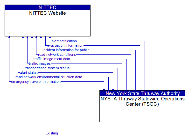
Interface: NITTEC Website - NYSTA Thruway Statewide Operations Center (TSOC)
Information Flow Definitions
alert notification (Existing)
Notification of a major emergency such as a natural or man–made disaster, civil emergency, or child abduction for distribution to the public. The flow identifies the alert originator, the nature of the emergency, the geographic area affected by the emergency, the effective time period, and information and instructions necessary for the public to respond to the alert. This flow may also identify specific information that should not be released to the public.
alert status (Existing)
Information indicating the current status of the emergency alert including identification of the traveler and driver information systems that are being used to provide the alert.
emergency traveler information (Existing)
Public notification of an emergency such as a natural or man–made disaster, civil emergency, or child abduction. This flow also includes evacuation information including evacuation instructions, evacuation zones, recommended evacuation times, tailored evacuation routes and destinations, traffic and road conditions along the evacuation routes, traveler services and shelter information, and reentry times and instructions.
evacuation information (Existing)
Evacuation instructions and information including evacuation zones, evacuation times, and reentry times.
incident information for public (Existing)
Report of current desensitized incident information prepared for public dissemination.
road network conditions (Existing)
Current and forecasted traffic information, road and weather conditions, and other road network status. Either raw data, processed data, or some combination of both may be provided by this flow. Information on diversions and alternate routes, closures, and special traffic restrictions (lane/shoulder use, weight restrictions, width restrictions, HOV requirements) in effect is included.
road network environmental situation data (Existing)
Aggregated environmental situation data collected from vehicles and other sources for the road network. Aggregated information would include measured air temperature, exterior light status, wiper status, sun sensor status, rain sensor status, traction control status, ALB status, and other collected vehicle system status and sensor information for the region.
traffic image meta data (Existing)
Meta data that describes traffic images. Traffic images (video) are in another flow.
traffic images (Existing)
High fidelity, real–time traffic images suitable for surveillance monitoring by the operator or for use in machine vision applications. This flow includes the images. Meta data that describes the images is contained in another flow.
transportation system status (Existing)
Current status and condition of transportation infrastructure (e.g., tunnels, bridges, interchanges, TMC offices, maintenance facilities). In case of disaster or major incident, this flow provides an assessment of damage sustained by the surface transportation system including location and extent of the damage, estimate of remaining capacity and necessary restrictions, and time frame for repair and recovery.