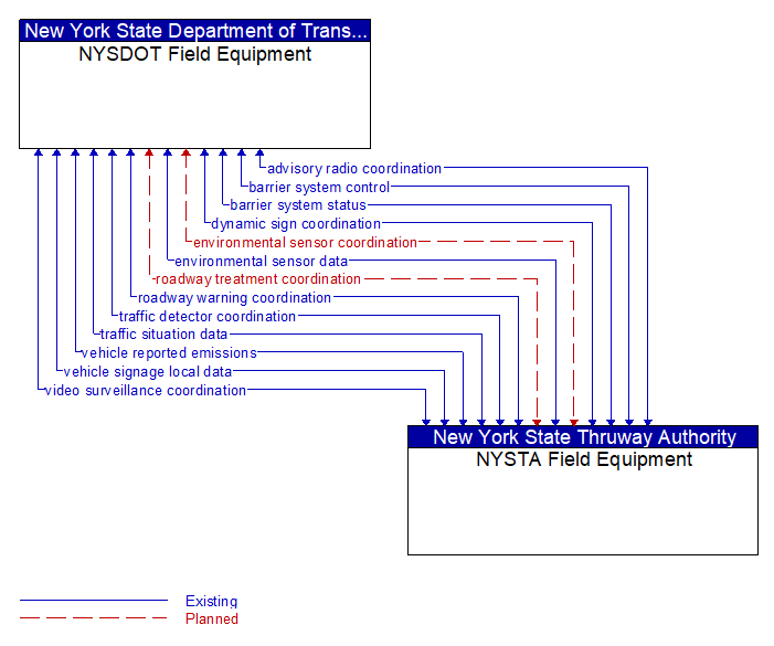
Interface: NYSDOT Field Equipment - NYSTA Field Equipment
Information Flow Definitions
advisory radio coordination (Existing)
The direct flow of information between field equipment. This includes information used to initialize, configure, and control roadside highway advisory radio including message content and delivery attributes, local message store maintenance requests, control mode commands, status queries, and all other commands and associated parameters that support local monitoring and management of these systems.
barrier system control (Existing)
Information used to configure and control barrier systems that are represented by gates, barriers and other automated or remotely controlled systems used to manage entry to roadways.
barrier system status (Existing)
Current operating status of barrier systems. Barrier systems represent gates, barriers and other automated or remotely controlled systems used to manage entry to roadways. Status of the systems includes operating condition and current operational state.
dynamic sign coordination (Existing)
The direct flow of information between field equipment. This includes information used to initialize, configure, and control dynamic message signs. This flow can provide message content and delivery attributes, local message store maintenance requests, control mode commands, status queries, and all other commands and associated parameters that support local management of these devices. Current operating status of dynamic message signs is returned.
environmental sensor coordination (Planned)
The direct flow of information between field equipment. This includes configuration and control of environmental sensors and the current road conditions (e.g., surface temperature, subsurface temperature, moisture, icing, treatment status) and surface weather conditions (e.g., air temperature, wind speed, precipitation, visibility) as measured and reported by fixed and/or mobile environmental sensors. Operational status of the sensors is also included.
environmental sensor data (Existing)
Current road conditions (e.g., surface temperature, subsurface temperature, moisture, icing, treatment status) and surface weather conditions (e.g., air temperature, wind speed, precipitation, visibility) as measured and reported by fixed and/or mobile environmental sensors. Operational status of the sensors is also included.
roadway treatment coordination (Planned)
The direct flow of information between field equipment. This includes control data for remotely located, automated devices, that treat the road surface (e.g., de–icing applications) and the current operational status of automated roadway treatment devices.
roadway warning coordination (Existing)
The direct flow of information between field equipment. This includes information used to configure and control roadway warning systems and the current operating status of roadway warning systems.
traffic detector coordination (Existing)
The direct flow of information between field equipment. This includes information used to configure and control traffic detector systems such as inductive loop detectors and machine vision sensors Raw and/or processed traffic detector data is returned that allows derivation of traffic flow variables (e.g., speed, volume, and density measures) and associated information (e.g., congestion, potential incidents). This flow includes the traffic data and the operational status of the traffic detectors
traffic situation data (Existing)
Current, aggregate traffic data collected from connected vehicles that can be used to supplement or replace information collected by roadside traffic detectors. It includes raw and/or processed reported vehicle speeds, counts, and other derived measures. Raw and/or filtered vehicle control events may also be included to support incident detection.
vehicle reported emissions (Existing)
Current and average vehicle emissions data as measured by vehicle diagnostics systems and reported by the vehicle.
vehicle signage local data (Existing)
Information provided by adjacent field equipment to support in–vehicle signing of dynamic information that is currently being displayed to passing drivers. This includes the dynamic information (e.g., local traffic and road conditions, work zone information, lane restrictions, detours, closures, advisories, parking availability, etc.) and control parameters that identify the desired timing, duration, and priority of the signage data.
video surveillance coordination (Existing)
The direct flow of information between field equipment. This includes information used to configure and control video surveillance systems and the high fidelity, real–time traffic images and associated meta data that are returned.